
Freecycle Earth
Environmental Engineering for Conservation
Sliding-scale environmental consulting for communities, nonprofits, and local government navigating pollution, conservation, and climate challenges.
Scroll to explore
↓
Environmental Engineering for Conservation
Sliding-scale environmental consulting for communities, nonprofits, and local government navigating pollution, conservation, and climate challenges.
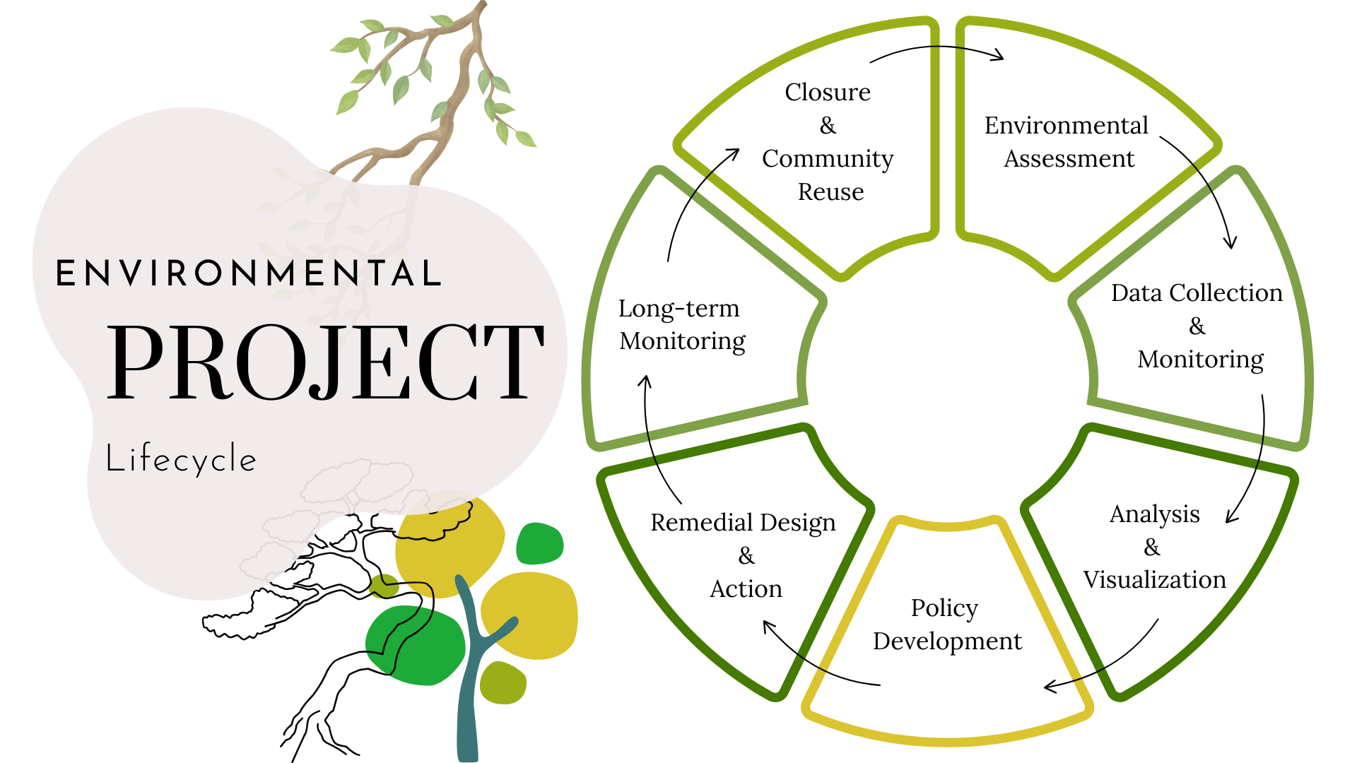
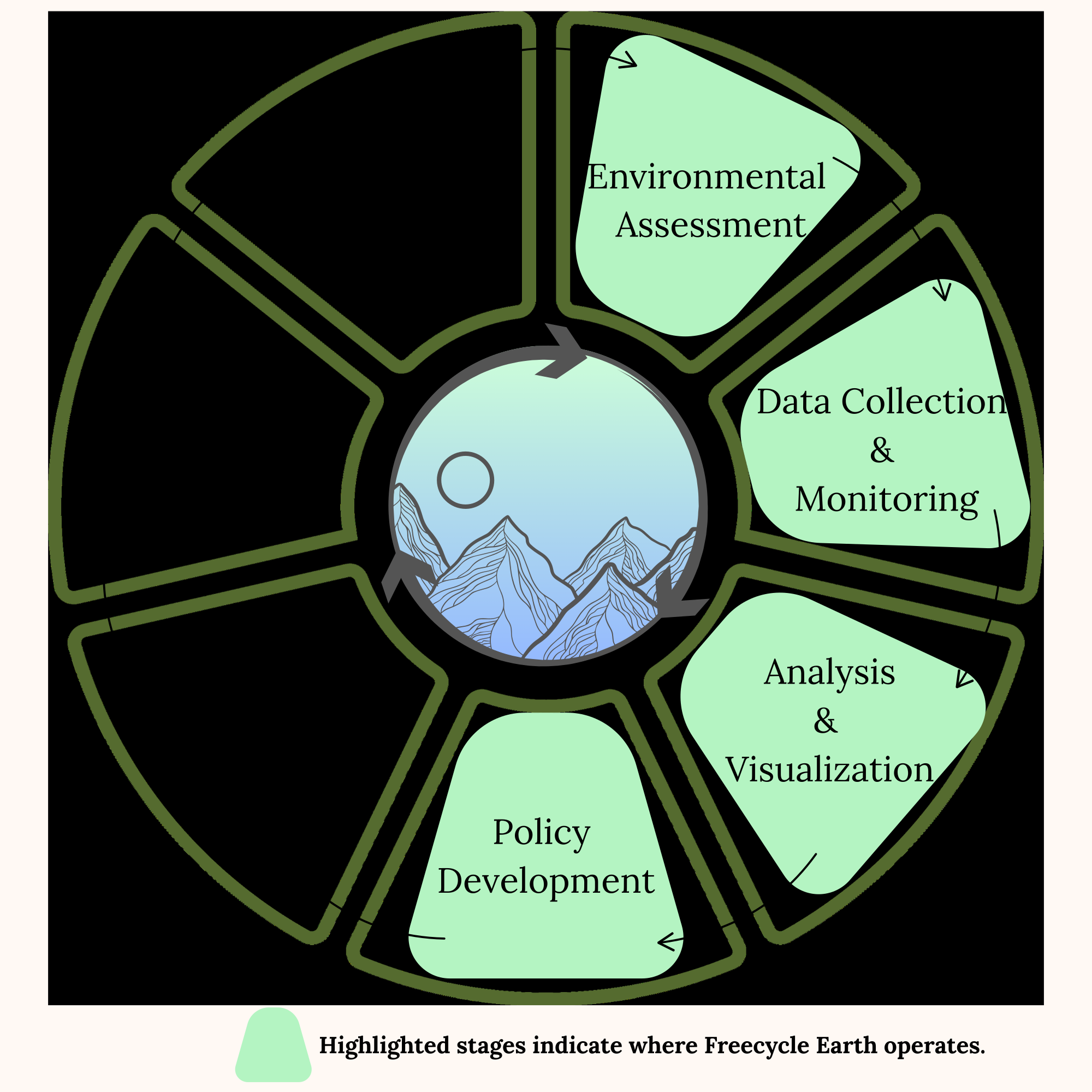
We guide projects from initial assessment through policy action — offering each phase independently or as a complete engagement.
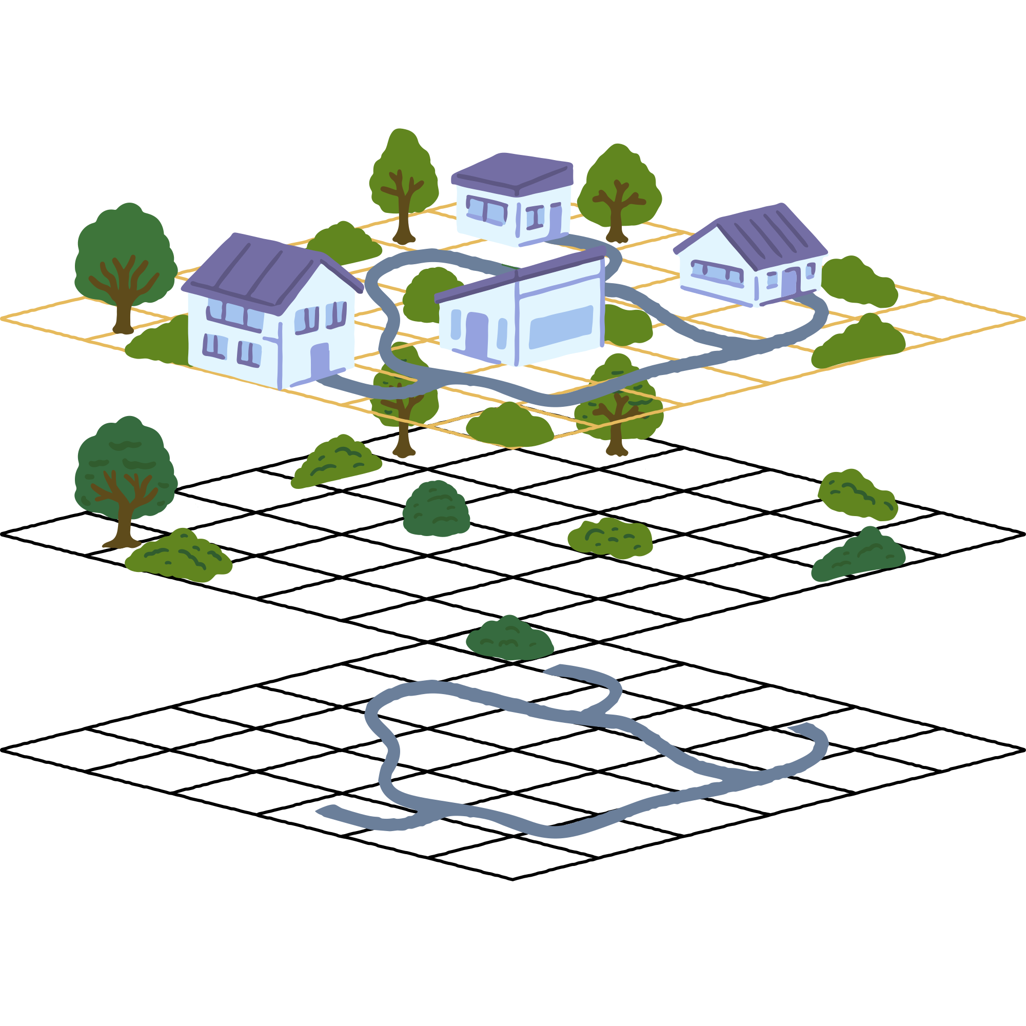
Defining and mapping the scope of local environmental issues — from pollution boundaries to land use impact.
Deploying sensors and real-time monitoring systems to measure pollution, water quality, and environmental conditions on the ground.
Transforming raw environmental data into interactive dashboards and maps that make findings clear to any audience.
Translating environmental findings into actionable policy recommendations for local commissioners, agencies, and community leaders.
We guide communities, nonprofits, and local government through the environmental project lifecycle, entering at several stages and offering each phase independently or as a complete engagement.

Concrete statues demarcating elevation above sea-level are being installed across 264 Miami-Dade County parks. These statues are designed by Artist-in-Residence, Xavier Cortada, to engage citizens in conversation
about what can be done to combat extreme flooding events.
Freecycle Earth created an interactive map to geo-locate all statues, which assists stakeholders such as community members, park visitors, and local officials.
Map powered by uMap.
Partnered with the Wild & Scenic Westfield River Committee to visualize de-icing policies that reduce negative effects to river morphology and chemistry. Accomplished in collaboration with local communities, municipal officials, and federal and state agencies.